Bharat Forecast System: The Development of a km-scale monsoon prediction model for India
The Bharat Forecast System has demonstrated significant improvement in the rainfall forecast over the core monsoon region, and 30% better accuracy for the extreme rainfall forecast compared with the previous operational model. It has been developed primarily for improving the short- and medium-range weather prediction but may be applied for other scales of prediction as well
In 2017, it was felt that there is a need to introspect about the status of Numerical Weather Prediction (NWP) in India and elsewhere in the globe and the path ahead. Keeping this in mind, we organised a landmark international workshop on Representation of Physical Processes in Weather and Climate Models (INTROSPECT 2017) during February 13-16, 2017 at the Indian Institute of Tropical Meteorology (IITM), Pune. We invited all the global Numerical Weather Prediction experts to IITM to deliberate and introspect on the status and further progress of numerical weather prediction. Interestingly, it was a hybrid workshop and many joined online (speakers and participants, the concept we used much before COVID-19).
In India, since January 2017, we were able to generate a deterministic forecast at a horizontal resolution of about 12 km, which is typically the size of a meteorological block. The National Center for Environmental Prediction (NCEP) Global Forecast System (GFS) model, which was adopted in IITM as a part of Ministry of Earth Sciences’ ambitious “Monsoon Mission” project, has been used for probabilistic forecasts since June 2018.
The trigger
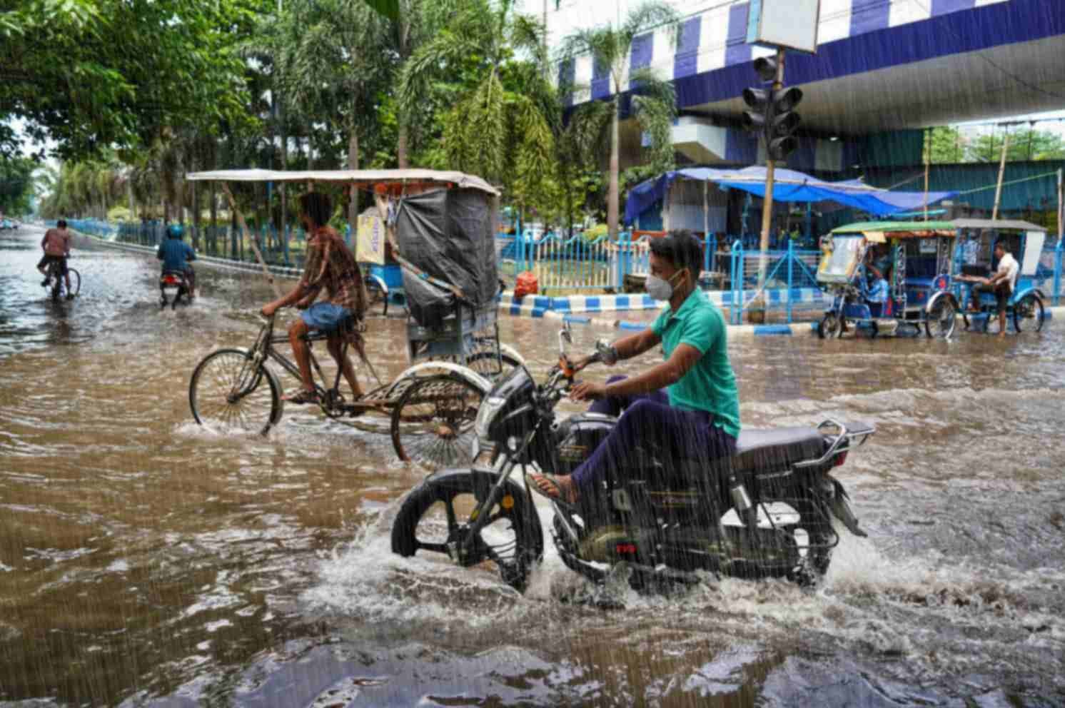
The 12 km deterministic model and the ensemble model based on the Global Forecast System (GFS) show reasonably good skill in capturing the monsoon rainfall with a three to five days lead time. However, three state-of-heart deterministic forecast systems — IFS from ECMWF, NCUM from NCMRWF and IITM GFS — failed to capture the extremely heavy rainfall events over Kerala during August 2018 and August 2019 with longer lead though the ensemble version of these model versions did show high probability of extreme with three days lead. One of the limitations in resolving the regional variabilities in rainfall is the horizontal resolution, which does not allow the model to resolve the smaller-scale processes. Enhancing the horizontal resolution of the existing GFS-based forecasting system was much needed.
A presentation by Dr. Peter Bechtold of European Centre for Medium Range Weather Forecast (ECMWF) on their Integrated Forecast System (IFO) model (at 9 km horizontal resolution) and its high skill, drew our attention and motivated us. In fact, after this workshop, we started discussing the possibility of enhancing the existing resolution from 12 km to about 6 km through a grid system known as Triangular Cubic Octahedral system (Tco).
With a few scientists of IITM, we started the fresh and ambitious journey of building a new model for India with a hope that at much higher granularity, it would help resolve the spatial heterogeneity (such as the complex mountain) better and improve the prediction skill further. In the context of climate change, small-scale heavy rainfall events are becoming more frequent, making it necessary to employ finer model resolutions to capture these phenomena. The advantage of the cubic octahedral grid is manifold, and among them the most important is that it gradually enhances the resolution from pole towards equator. As a result, it gives some computational advantage in high power super computers. It also reduces false rainfall along the orography which other grid systems including the one used in Global Forecast System (GFS) does.
Developing the Bharat Forecast System model
The development when happens indigenously, it goes through many challenges and uphill task of writing complex codes, stabilising the codes, running the global kilometer scale model in high power computer etc. However, our systematic approach to start with very basic version of code consisting only the dynamics (without any atmospheric physics) followed by gradual inclusion of complexities like adding only ocean (but no land, known as aqua planet), then adding land, followed by mountains and lastly the representation of atmospheric physics through parameterisation helped build the three-dimensional realistic model at a resolution of 6 km over global tropics. It took almost five years for us to complete the development, running and testing of the model. We got the eureka moment in January 2022 and we gave it a name as IITM High Resolution Global Forecast Model (HGFM), which later was renamed as the Bharat Forecast System.
The 6 km model started running in an experimental mode in June 2022 in the High-Performance Computing (HPC) system at IITM. Detailed results about its running and performance evaluation were published in the European Geophysical Union (EGU) journal Geoscientific Model Development in April 2025. However, the model was taking a long time — around 10 hours to complete 10 days of forecast — mainly due to limitation of computational power. The challenge at this stage was to run the model on any computer in India. Due to extremely high resolution, it was becoming increasingly challenging to run it for 10 days.
However, with the installation of two supercomputing facilities — Arka (IITM-Pune) and Arunika (NCMRWF-Noida) — the model run time was effectively reduced from about 12 hours to just three hours, which allowed the model to be used for real-time weather prediction. It was dedicated to the nation on May 26, 2025, and since then the model is operational at the India Meteorological Department.
A numerical weather prediction model always depends on the sensitivity of the initial conditions provided to the model, the initial conditions during the initial experimental run and thereafter being provided by the National Centre for Medium range Weather Forecast (NCMWRF), Noida. NCMRWF generated initial conditions that were instrumental in the running and implementation of the 12 km Global Forecast System in 2017 and its ensemble version GEFS in 2019 as well.
The Bharat Forecast System is a progression of development and a truly indigenous model developed in India and initialised with India-made analyses. Another novel initiative has been the access to the model — km-scale model code was published in the journal Geoscientific Model Development, thus making the code available freely to any users.
Global leader
The whole process of development, publication and operational implementation of the 6 km Bharat Forecast System has been successful due to dedication of IITM scientists, which has put India for the first time in the map of global centres running km-scale models. Today, India has the highest resolution (6 km) model being run operationally in the world; global models by other operational centres in the world have a horizontal resolution of 9-14 km. The high resolution of the Bharat Forecast System allows forecasters to predict small-scale weather features more accurately.
The Bharat Forecast System was developed with the objective of generating forecasts at the cluster of sub-block/panchayats level and improving the prediction of extreme rainfall events. In research mode, it has demonstrated significant improvement in the rainfall forecast over the core monsoon region, and 30% better accuracy for the extreme rainfall forecast compared with the previous operational model. The Bharat Forecast System has been developed primarily for improving the short- and medium-range weather prediction but may be applied for other scales of prediction as well making it a seamless framework of modelling system.
Miles to go
However, this is definitely not the end. Rather, it is the beginning of a new era and this model should be enhanced further for its application in cities and urban localities for extreme events; the resolution of 6 km is typically the size of a cluster of panchayats/villages. The bias of the model needs to be estimated and further improved. As artificial intelligence is evolving in a big way, efforts need to be taken to combine physics and AI for bias correction and downscaling to even finer resolution. We feel, students and researchers will take this development as a benchmark for demonstrating our ability in building complex models at par with other global centres and will get motivated to take up even more challenging development to make India a true leader.
Featured image credit: Dibakar Roy


